New Features Added to WPdx Decision Support Tools
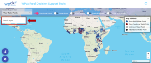
We are excited to share some new features and updates which have been added to the WPdx decision support tools app. Please take a few


We are excited to share some new features and updates which have been added to the WPdx decision support tools app. Please take a few